44 locations found
FREE ECONOMIC ZONE “BĂLȚI” #00001
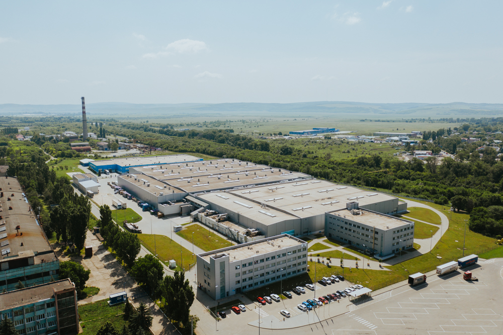
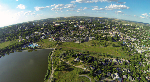
The FEZ "Bălți" was established in 2010 for a period of 25 years. It administrates 17 subzones with a total area of circa 278 hectares, namely in Bălți Municipality (3 subzones – 104.9 ha), Strășeni Municipality (4 subzones – 43.4 ha), the Village of Pănășești (16.3 ha), the City of Căușeni (8.5 ha), Orhei Municipality (8.0 ha), Cahul Municipality (2 subzones – 40.4 ha), the City of Ștefan-Vodă (8.9 ha), the City of Cimișlia (20.0 ha), the Village of Albinețul Vechi (1.5 ha), the City of Rezina (8.7 ha), and Chișinău Municipality (2 subzones – 18.0 ha). The FEZ "Bălți" hosts in its subzones throughout the country a number of international automotive suppliers such as Dräxl maier Automotive, Gebauer & Griller, SEBN Su mitomo Electric Bordnetze, Sammy Ca blaggi / Kablem, and Coroplast Harness Technology. The FEZ "Bălți" – Subzone 3 is located in the northeaster part of Bălți in circa 2 km proximity to the city center. The land plot of 90 hectares lies at the crossroads of the two National Roads R13 (Balti – Șoldănești – Rîbnița) and R14 (Bălți – Sărăteni – M2). The most important resident of subzone 3 in Bălți is a manufacturer of cables, wires and cable harnesses for the automotive industry – Gebauer & Griller.
#greenfield, #free-economic-zone
| Location | Bălți |
| Overall Population of the District | 150,700 inhabitants |
| Total Area of the City | 78 km² |
| Organizational Form | FEZ administration |
| Land Ownership | Public |
| Free Buildable Area | 90 hectares |
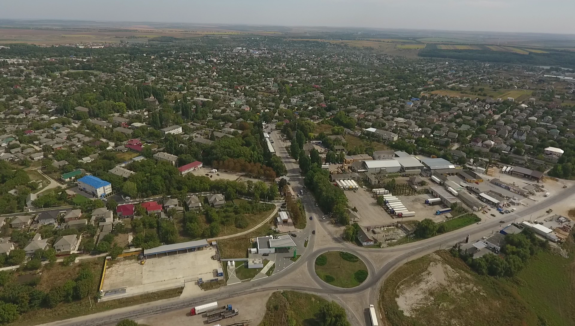
Multifunctional Platform "Briceni" #00004
The city of Briceni has a developed road network, being an important locality in the road connection of the Republic of Moldova with Ukraine. The density of city streets within the territory is 3.6 km of road, which corresponds to 1 km2 of territory. According to the National Bureau of Statistics of the Republic of Moldova, the length of public roads in the city of Briceni is 55 km, of which 38.1% are roads with rigid clothing.
#brownfield, #multifunctional-platform
| Zone population | 123.456 people |
SUBZONE "SÎNGERA" #00021
#brownfield, #free-economic-zone

Comrat #00052
The Subzone Comrat is located in the northern part of Comrat Municipality 4 km proximity to the city center. The Subzone has immediate access to European Road E584 connecting the cities of Poltava (UKR) and Galați (ROU). The total land plot area of the Subzone is 50.3 hectares. The most important resident of Subzone Comrat is an international automotive supplier of wiring harness – Fujikura Automotive
#greenfield, #free-economic-zone
| Location | Comrat Municipality |
| Overall Population of the Autonomy | 150,000 inhabitants |
| Total Area of the City | 17 km² |
| Organizational Form | FEZ administration |
| Land Ownership | Public |
| Free Buildable Area | 40 hectares |
FREE ECONOMIC ZONE “BĂLȚI”
Zone type: Greenfield
Location: Bălți
Overall Population of the District: 150,700 inhabitants
Total Area of the City: 78 km²
Organizational Form: FEZ administration
Land Ownership: Public
Free Buildable Area: 90 hectares
Multifunctional Platform "Briceni"
Zone type: Brownfield
Zone population: 123.456 people
Comrat
Zone type: Greenfield
Location: Comrat Municipality
Overall Population of the Autonomy: 150,000 inhabitants
Total Area of the City: 17 km²
Organizational Form: FEZ administration
Land Ownership: Public
Free Buildable Area: 40 hectares

Hîncești
Zone type: Brownfield
Location: Hîncești
Overall Population of the District: 119,200 Inhabitants
Total Area of the City: 1.484 km²
Organizational Form: FEZ administration
Land Ownership: Private
Land Area: 1.99 hectares
INDUSTRIAL PARK "EDINEȚ"
Zone type: Brownfield
Location: Edinet
Overall population of the District: 79,200 inhabitants
Total area of the city: 5.7 km2
Organization Form: IP administration
Land Ownership: Public
Free Buildable Area: 5 hectares
MULTI FUNCTIONAL INDUSTRIAL PLATFORM "ANENII NOI"
Zone type: Brownfield

Nisporeni
Zone type: Greenfield
Location: Nisporeni
Overall Population of the District: 65,400 Inhabitants
Total Area of the City: 14 km²
Organizational Form: FEZ administration
Land Ownership: Private
Land Area: 23.7 hectares

Ceadir-Lunga
Zone type: Greenfield
Location: Ceadîr-Lunga
Overall Population of the Autonomy: 150.000 Inhabitants
Total Area of the City: 9.6 km2
Organizational Form: FEZ administration
Land Ownership: Public
Land Area: 42 hectares

Căușeni
Zone type: Greenfield
Location: Căușeni
Overall Population of the District: 90,500 inhabitants
Total Area of the City: 10 km²
Organizational Form: FEZ administration
Land Ownership: Private \/ Public
Free Buildable Area: 5.5 hectares

FREE ECONOMIC ZONE "UNGHENI-BUSINESS”
Zone type: Brownfield
Location: Ungheni
Overall Population of District: 117,100 Inhabitants
Total Area of the City: 16.4 km2
Organizational Form: FEZ administration
Land Ownership: Private
Free Buildable area: 5.15 hectares
Subzones
MULTI FUNCTIONAL INDUSTRIAL PLATFORM "CANTEMIR"
Zone type: Brownfield

Tuzara (Călărași)
Zone type: Greenfield
Location: Tuzara (Călărași)
Overall Population of the District: 77,300 Inhabitants
Total Area of the City: 42.33 km²
Organizational Form: FEZ administration
Land Ownership: Public
Land Area: 32.27 hectares

Orhei
Zone type: Brownfield
Location: Orhei
Overall Population of the District: 25,000 inhabitants
Total Area of the City: 8,5 km²
Organizational Form: FEZ administration
Land Ownership: Public
Free Buildable Area: 8 hectares, with possibility to extend up to 170 hectares
FREE ECONOMIC ZONE "EXPO BUSINESS CHIȘINĂU”
Zone type: Brownfield
Subzones
MULTI FUNCTIONAL INDUSTRIAL PLATFORM "FLOREȘITI"
Zone type: Brownfield

Soroca
Zone type: Greenfield
Location: Soroca
Overall Population of the District: 100,000 Inhabitants
Total Area of the City: 11.88 km2
Organizational Form: FEZ administration
Land Ownership: Public
Total Free Buildable Area: 17.6 hectares

Strășeni
Zone type: Brownfield
Location: Strășeni
Overall Population of the District: 92,400 inhabitants
Total Area of the City: 15 km²
Organizational Form: FEZ administration
Land Ownership: Private
Total Free Production Premises: 55,000 m2
Free Buildable Area: 15 hectares
FREE ECONOMIC ZONE "VALKANEȘ”
Zone type: Brownfield
Subzones
MULTI FUNCTIONAL INDUSTRIAL PLATFORM "IALOVENI"
Zone type: Brownfield
MULTI FUNCTIONAL INDUSTRIAL PLATFORM "LEOVA"
Zone type: Brownfield
MULTI FUNCTIONAL INDUSTRIAL PLATFORM "OCNIȚA"
Zone type: Brownfield

FREE ECONOMIC ZONE "Taraclia”
Zone type: Greenfield
Location: Taraclia
Overall Population of District: 43,000 inhabitants
Total Area of the City: 34 km²
Organizational Form: FEZ administration
Land Ownership: Public
Free Buildable Area: 33 hectares
MULTI FUNCTIONAL INDUSTRIAL PLATFORM "RÎȘCANI"
Zone type: Brownfield
MULTI FUNCTIONAL INDUSTRIAL PLATFORM "SÎNGEREI"
Zone type: Brownfield

MULTI FUNCTIONAL INDUSTRIAL PLATFORM "ȘOLDĂNEȘTI"
Zone type: Brownfield
MULTI FUNCTIONAL INDUSTRIAL PLATFORM "TELENEȘTI"
Zone type: Brownfield
MULTI FUNCTIONAL INDUSTRIAL PLATFORM "BASARABEASCA"
Zone type: Brownfield

MULTI FUNCTIONAL INDUSTRIAL PLATFORM "GLODENI"
Zone type: Brownfield
Multifunctional Platform "Ceadîr Lunga"
Zone type: Brownfield

